
There appears to have been some limited debate about this initiative on Cllr Chris Darby's facebook page. As Deputy Chair of the Auckland Development Ctte he is pictured in, and introduces the Aotea Quarter Framework. This document has similar structure and format as the Downtown Framework document which was part of the planning processes undertaken by Auckland Council under-pinning its initiative to dispose of Queen Elizabeth Square and to make way for a shopping precinct development accommodating "H and M" and "Zara" brands (and to net itself around $27 million).
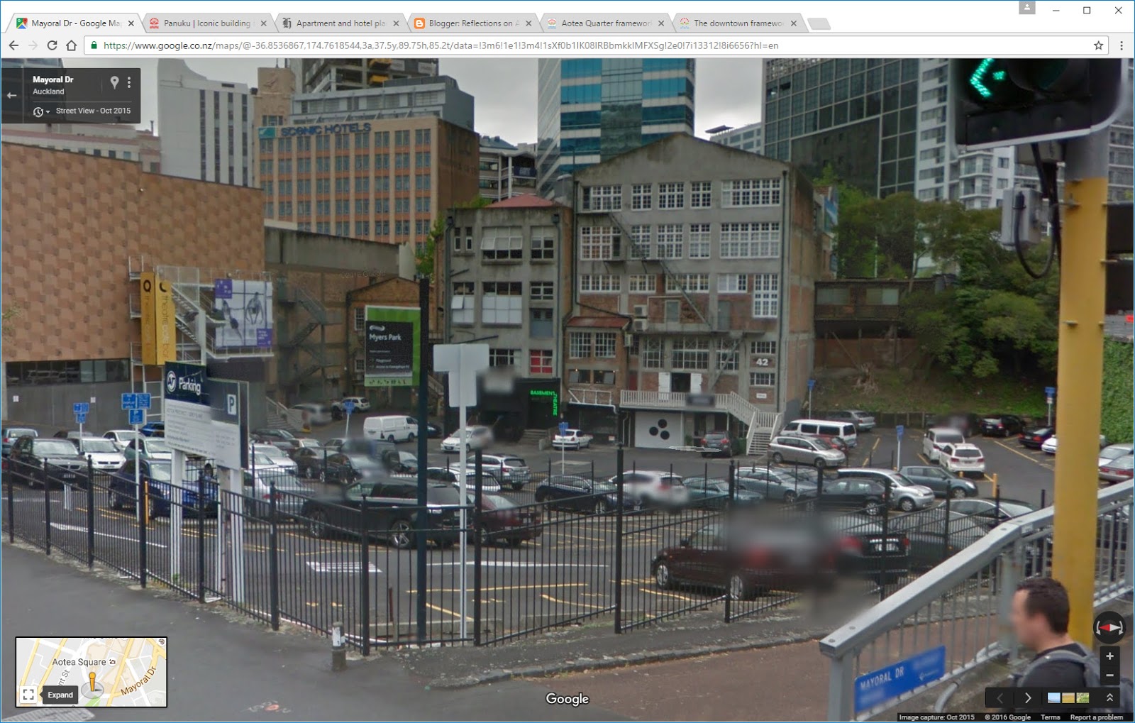
The map of Aotea Square above (copied from the Aotea Quarter Framework) shows in pink land areas labelled in the legend as "Future Development Opportunities". One of these is labelled "Civic Admin Building". As far as I am aware this map is the first and only public indication from Council that those areas are presently regarded as "Future Development Opportunities". The first off the block was introduced to the public by Panuku Development a couple of weeks ago in a media release.
What I haven't seen, and what I'd expect to see was more of a master-planned approach to the whole Aotea Quarter area. This would be an integrated plan (including detail for example of the proposed Aotea Station). The Civic Admin Building area would be seen as a supporting and coherent segment within that whole Master Planned approach. That sort of planning would incorporate the guidance contained in the heritage assessment for the Civic Admin Building, and it would show the relationships between the various segments. Of critical importance it would reveal the landscape architecture thinking needed to inter-relate proposed buildings with public spaces.
The overall masterplan would also address planning errors that emerged after the last big modernist upheaval in the area gave Auckland: Mayoral Drive, the Civic Admin Building, a large underground carpark, and the Aotea Centre itself. I won't go into those here. (NB: Auckland's downtown area underwent an upheaval about the same time which led to the HSBC Tower, QE Square, Downtown Shopping Centre and Zurich Tower. An upheaval which is presently subject to a transformation triggered by the CRL works and private interest plans to build a new tower. In that case public amenity has been given a back seat. Planning priorities: No 1 = private development, No 2 = transport, No 3 = pedestrian and public open space.)


Sure there's a challenge for Auckland Council in deciding what to do with the Civic Admin Building. However by opening up the ground floors to limited retail, and good easy access food and beverage, and incorporating 200 apartments above, will by itself be transformative. Adaptive re-use of buildings deemed of heritage value is a common approach as cities undergo transformation. Re-purposing is a useful strategy in urban morphology. Which takes me back to Aotea Centre building.
The Box Cafe has been a successful attempt to socialise this rather austere and uninviting facade. Ironically I found in the past it was mostly populated by Council officers from the Council Admin Building. Then I would say the title "Civic Quarter" might have been appropriate - just as Wellington is known as a Civic Centered sort of City as it houses Parliament, many Government buildings, and all of the employees who work in them. With the departure of Council HQ, Aotea Square has lost its civic heart, and renaming a quarter "Civic" won't bring it back I'm afraid. But I digress. A focus of the renewal and revitalisation of Aotea Square needs to be the edges of the Aotea Centre, and this comes down to what activities occur in those edges.
Otherwise Aotea Square itself risks being left in the dark, with an internally focussed Civic Quarter (its edges may have potential - but so would activated lower levels of the Civic Admin Building - and it needn't be shrouded).
Main takeaway: the whole area needs a good coherent masterplan - not just a framework (whatever that is in planning terms). Otherwise the short-term attractions of site specific development and private investment will compromise overall outcomes.


No comments:
Post a Comment